Eagle (KEGE) → Scottsdale (KSDL)
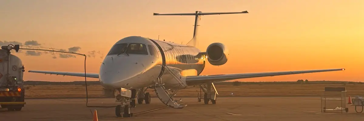
The route from Eagle County Regional Airport in Eagle, Colorado to Scottsdale Airport in Scottsdale, Arizona covers 434 nautical miles or 499.4 miles. This is a domestic flight connecting the Rocky Mountain region to the Phoenix metropolitan area.
All jet categories are suitable for this route. Very Light Jets complete the journey in 1 hour 32 minutes, while Light Jets fly it in 1 hour 26 minutes. Midsize Jets take 1 hour 22 minutes, Super-Midsize Jets 1 hour 17 minutes, Heavy Jets 1 hour 16 minutes, and Ultra-Long-Range Jets 1 hour 14 minutes. Aircraft selection depends on passenger count, luggage requirements, and budget considerations rather than route capability.
Eagle County Regional Airport sits at 6,925 feet elevation, which affects aircraft performance during departure. Charterers should confirm their chosen aircraft type can safely operate from this high-altitude airport under the specific weight and weather conditions on their travel date. Scottsdale Airport operates at 1,419 feet and presents no elevation constraints.
Estimated flight time by aircraft
| Aircraft category | Est. block time |
|---|---|
| Very Light Jet | 1h 32m |
| Light Jet | 1h 26m |
| Midsize Jet | 1h 22m |
| Super-Midsize Jet | 1h 17m |
| Heavy Jet | 1h 16m |
| Ultra-Long-Range Jet | 1h 14m |
Compare your charter options
Independent partners — request availability & pricing direct.