Santa Ana (KSNA) → Eagle (KEGE)
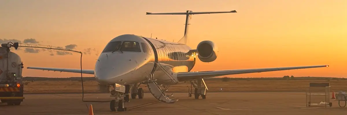
The route from John Wayne Orange County International Airport in Santa Ana to Eagle County Regional Airport near Eagle covers 636.9 nautical miles, or approximately 732.9 miles. This flight connects Southern California's Orange County to the Colorado high-country airport that serves the Vail ski area and surrounding mountain communities.
All jet categories are suitable for this route. Very Light Jets complete the journey in 2 hours 5 minutes, while Light Jets take 1 hour 55 minutes. Midsize and Super-Midsize Jets reduce flight time to 1 hour 49 minutes and 1 hour 42 minutes respectively. Heavy Jets arrive in 1 hour 40 minutes, and Ultra-Long-Range Jets in 1 hour 38 minutes.
Eagle County Regional Airport operates at elevation 6,894 feet above sea level. Clients should confirm their aircraft's performance capabilities at high-altitude airports when booking, as runway length and density altitude conditions can affect operations during peak seasons and in winter weather.
Estimated flight time by aircraft
| Aircraft category | Est. block time |
|---|---|
| Very Light Jet | 2h 05m |
| Light Jet | 1h 55m |
| Midsize Jet | 1h 49m |
| Super-Midsize Jet | 1h 42m |
| Heavy Jet | 1h 40m |
| Ultra-Long-Range Jet | 1h 38m |
Compare your charter options
Independent partners — request availability & pricing direct.